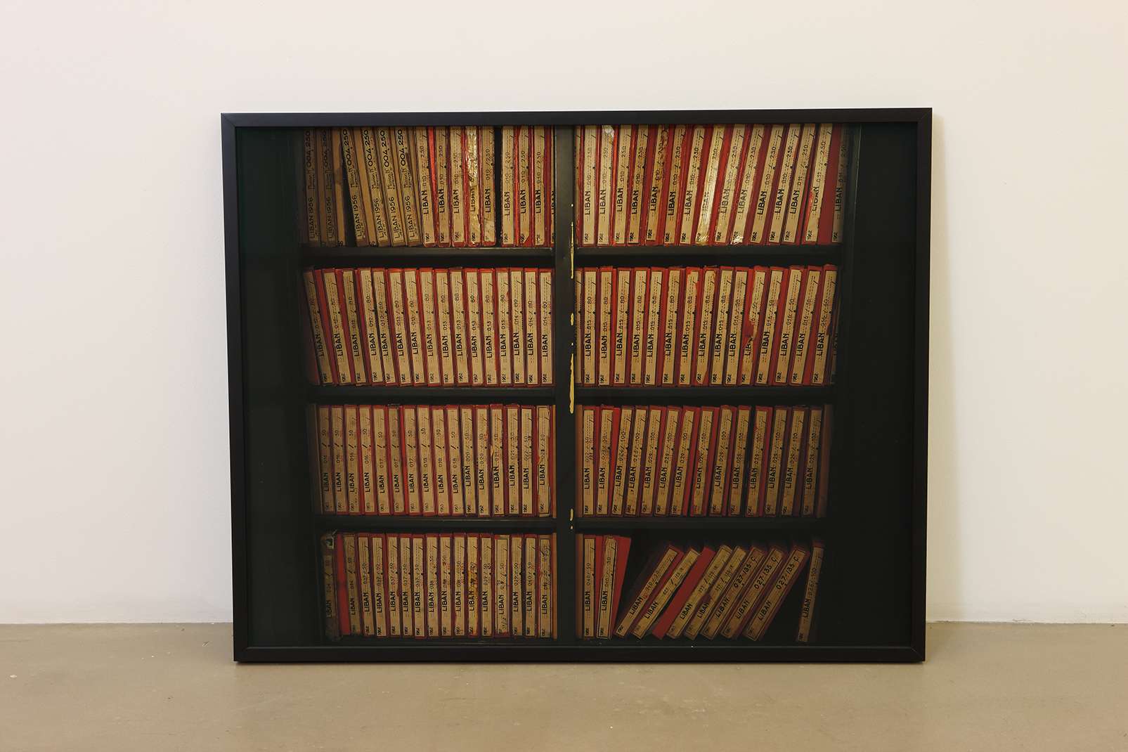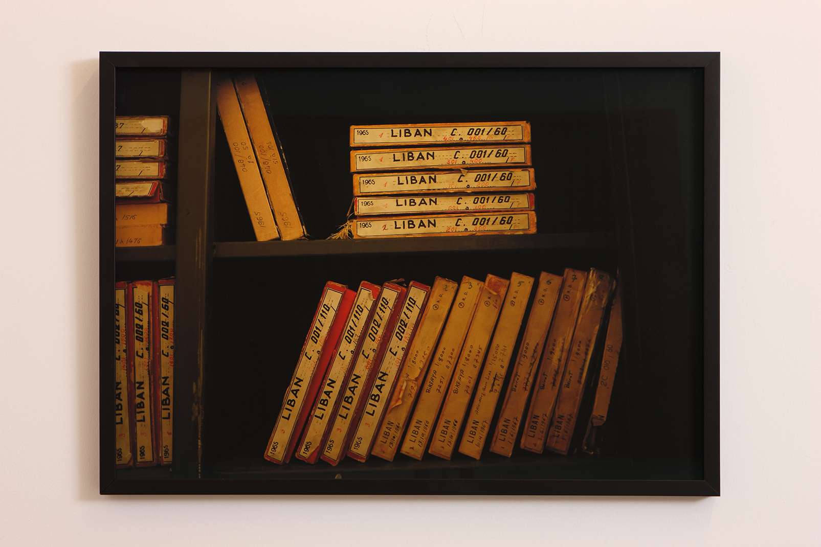
Series of Photographs, Dimensions Variable, 2017
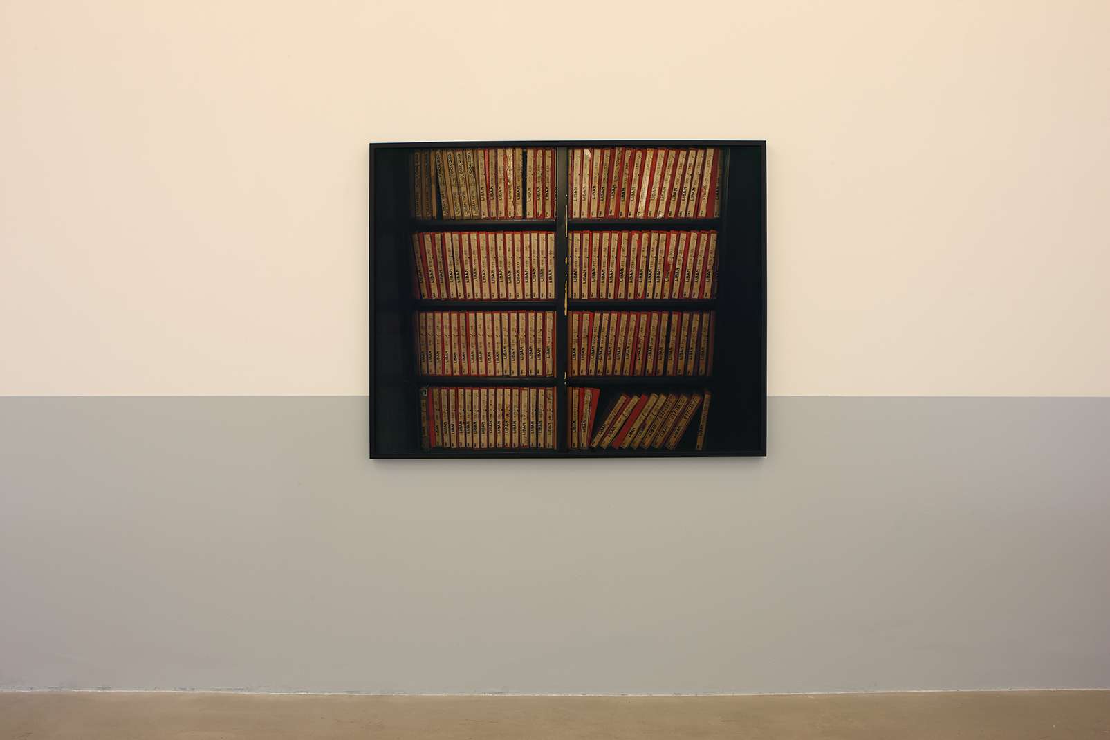
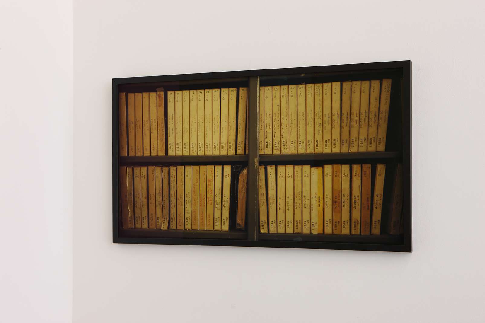
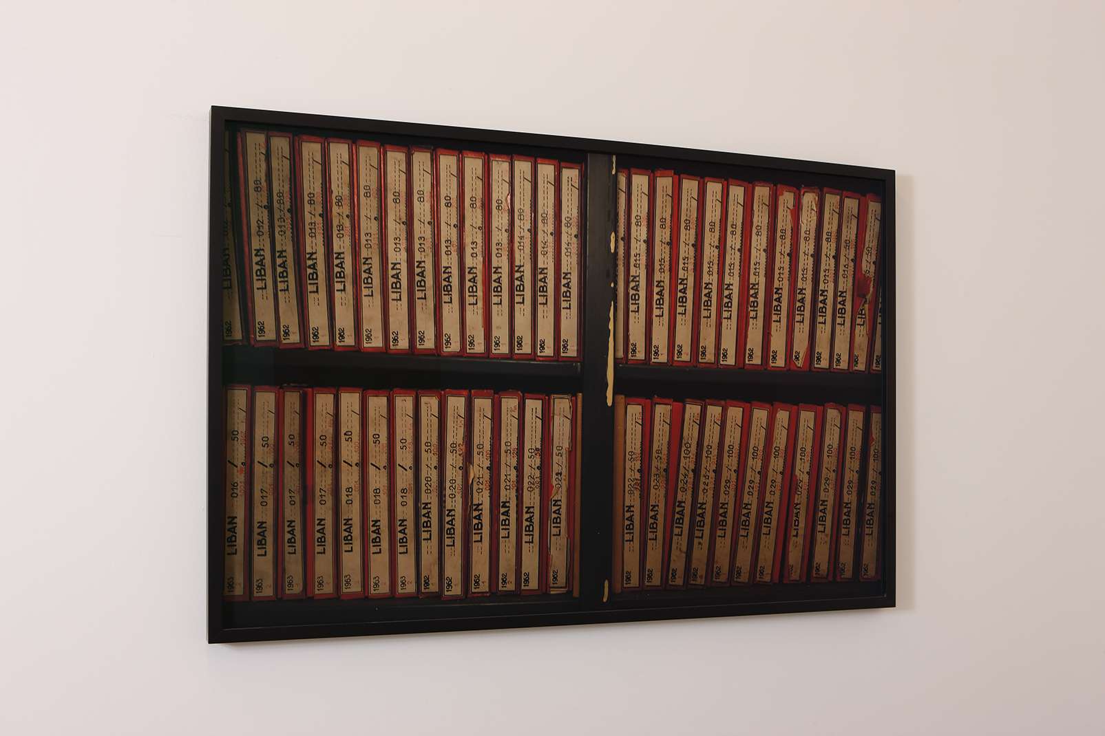
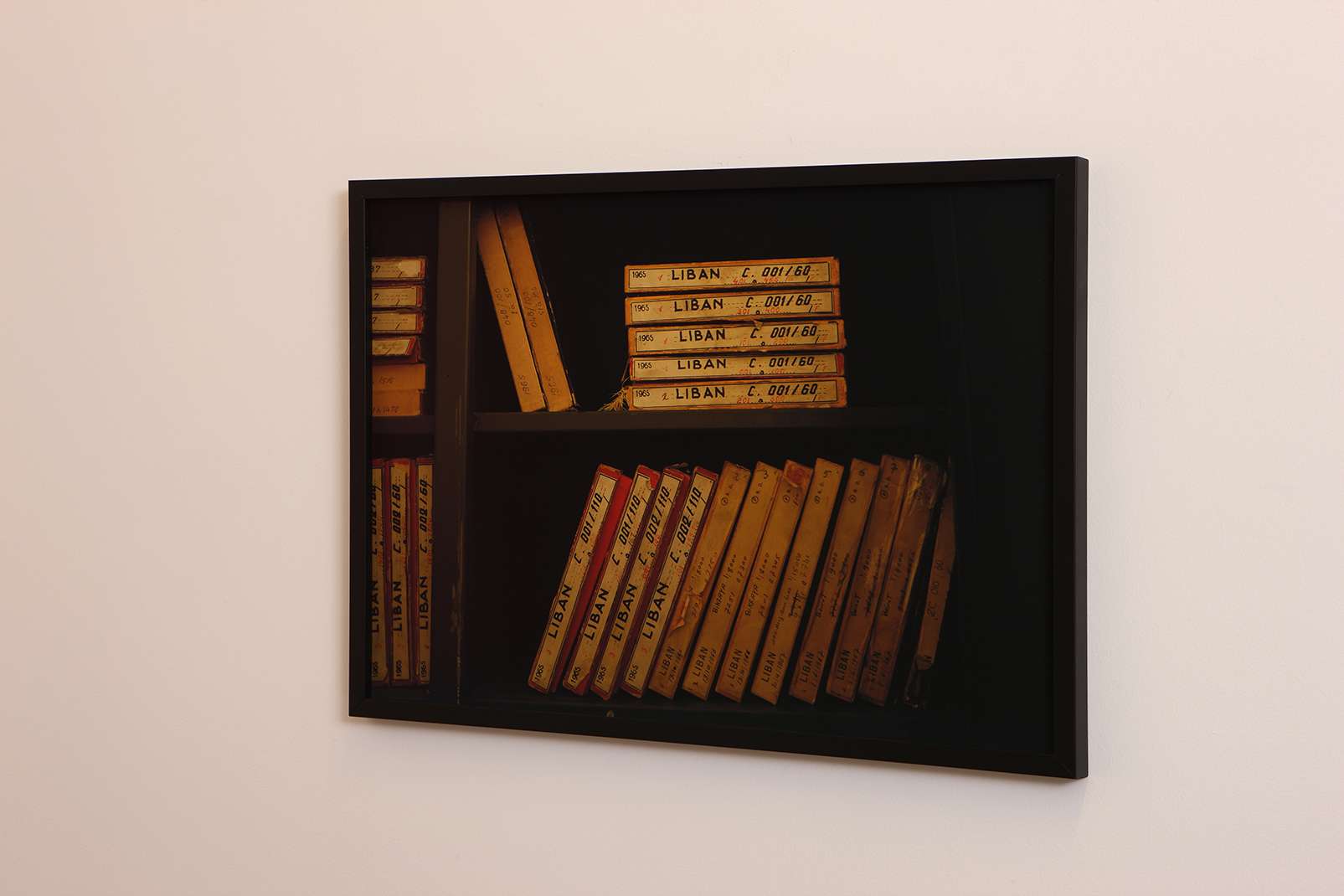
The images in this cabinet cover most of the Lebanese soil at an altitude of 20,000 meters.
Most of the images inside these compartments date back to pre-1975.
In the Geographic Division of the Lebanese Army, there are two metal old cabinets that contain the entire archive of aerial photographs of Lebanon’s modern history. I was searching for an aerial photo of South Lebanon. These cabinets hold images that stop at the year 1975, the beginning of the Lebanese Civil War. After that, and for more than ten years, there are no aerial photographs in the official Lebanese archive.
This gap once again raises questions about the meaning of the archive and the role of the state, whose primary function is to assert geographic control over its territory, especially in a country where large areas remain unregistered and unsurveyed to this day..