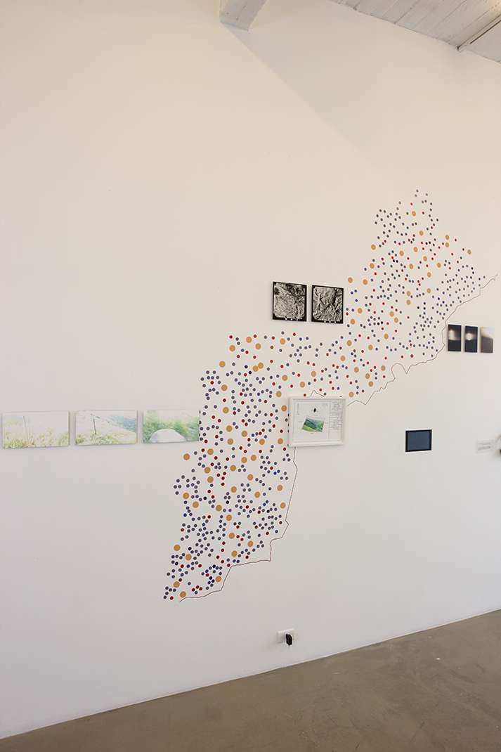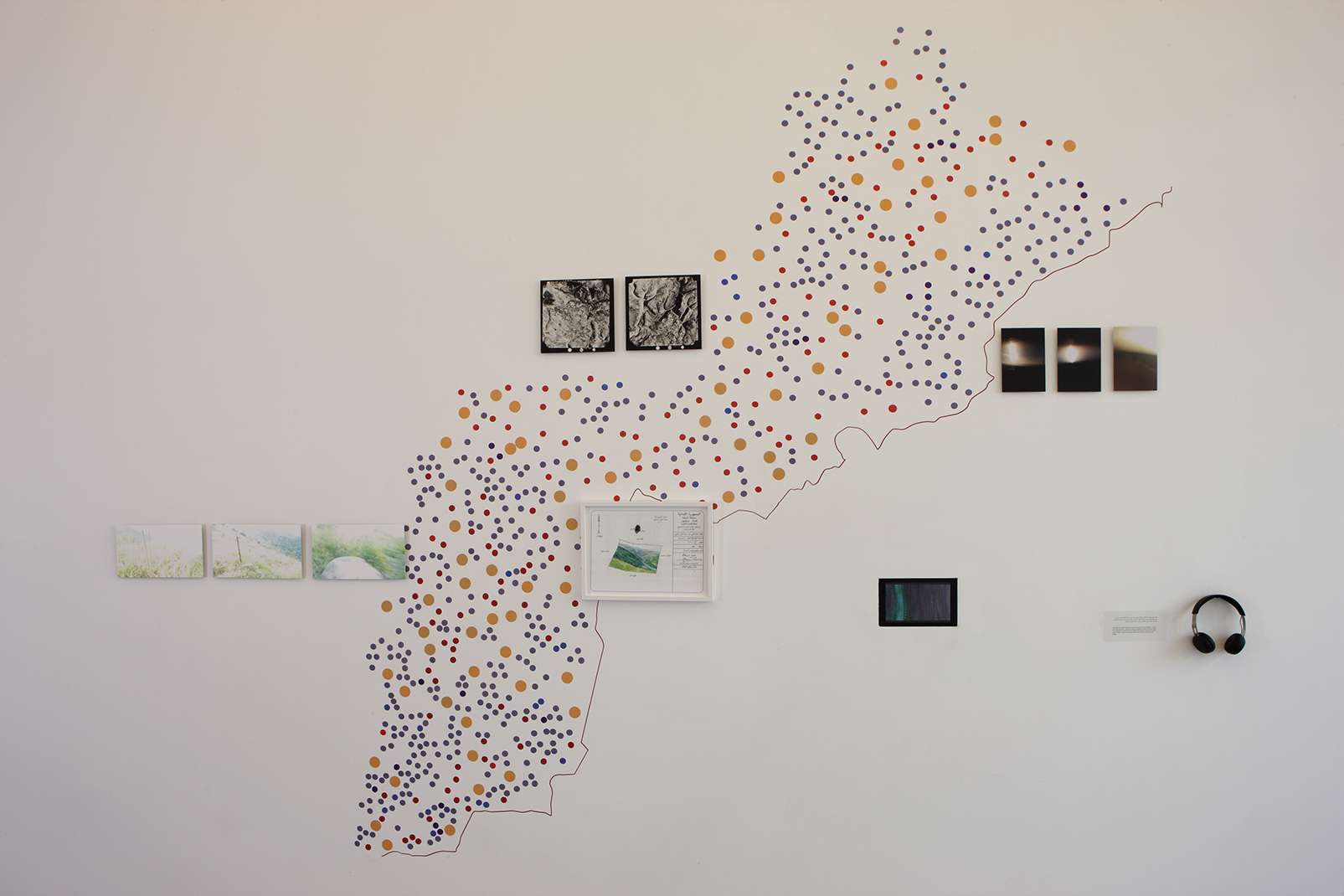
Installation, Dimensions Variable, 2017
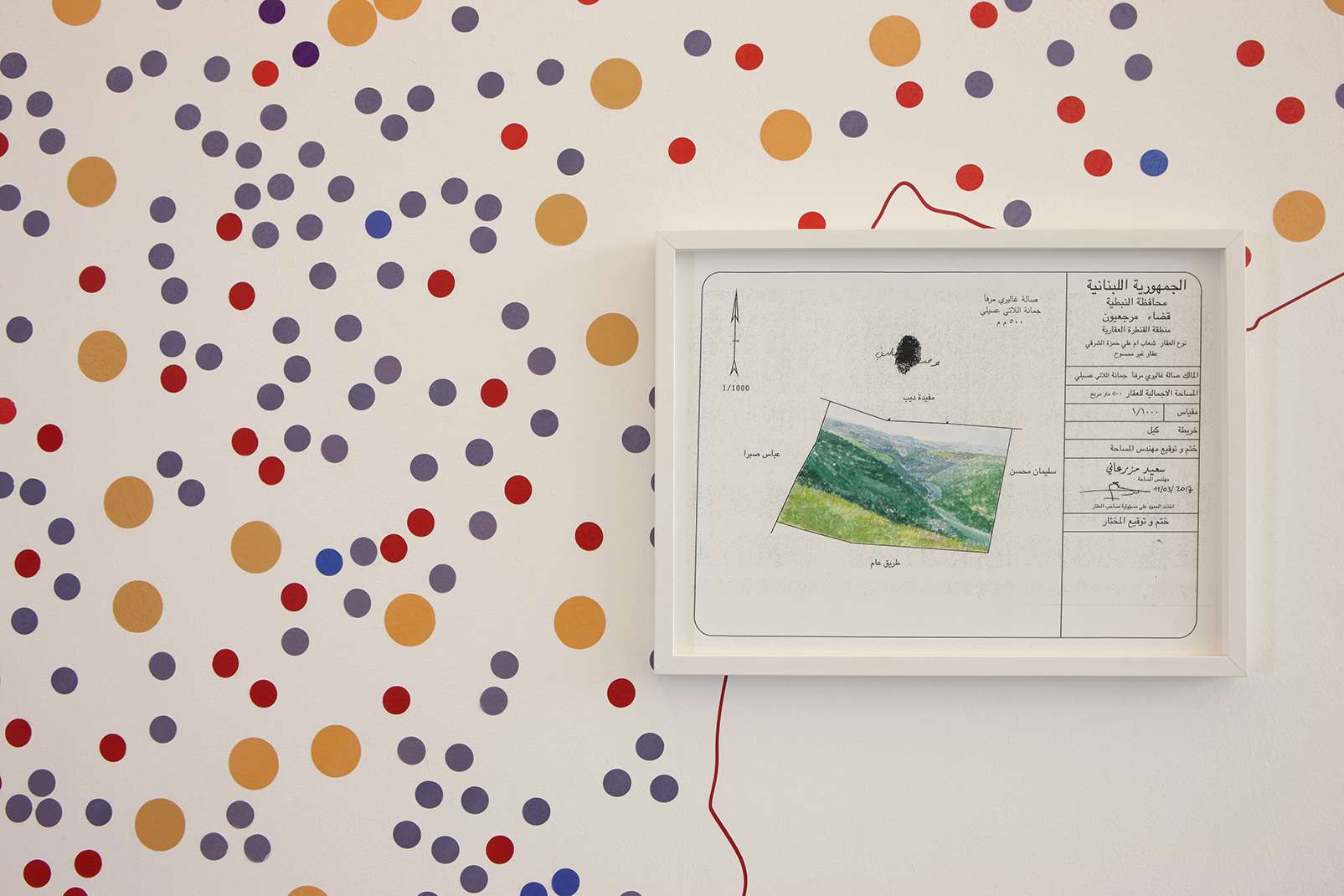
1- An interview with the surveyor whom I brought to survey the unsurveyed land.
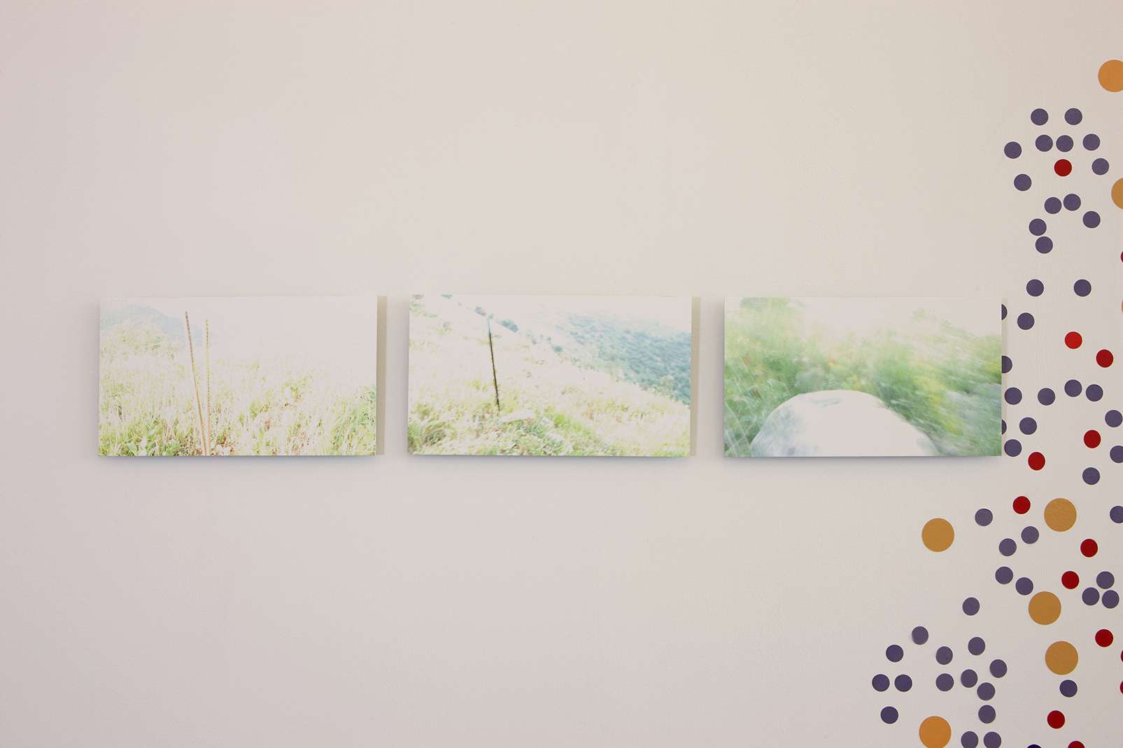
2- I had asked my father to record images of the land there.
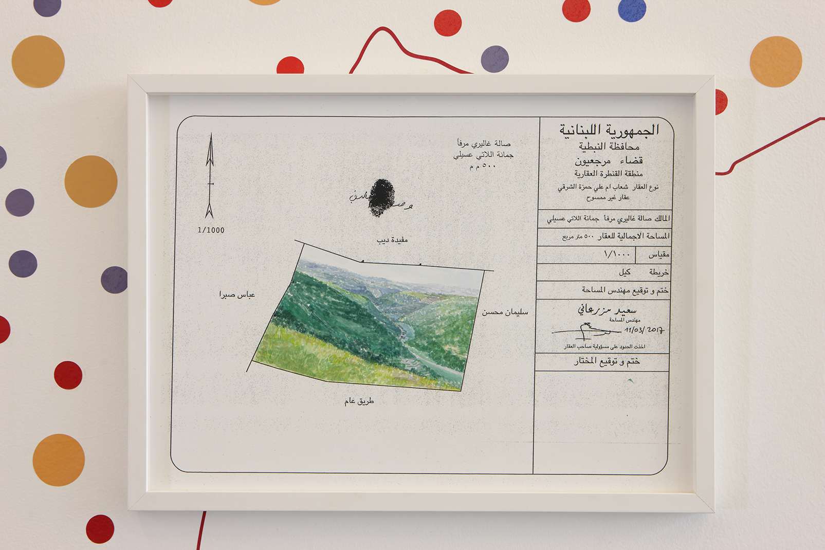
3- Waiting for the Mokhtar’s signature: A piece of land the size of Marfa’, unofficially owned
by Joumana Asseily through long-term occupancy, legally not owned by anyone and
waiting to be utilized and reclaimed.
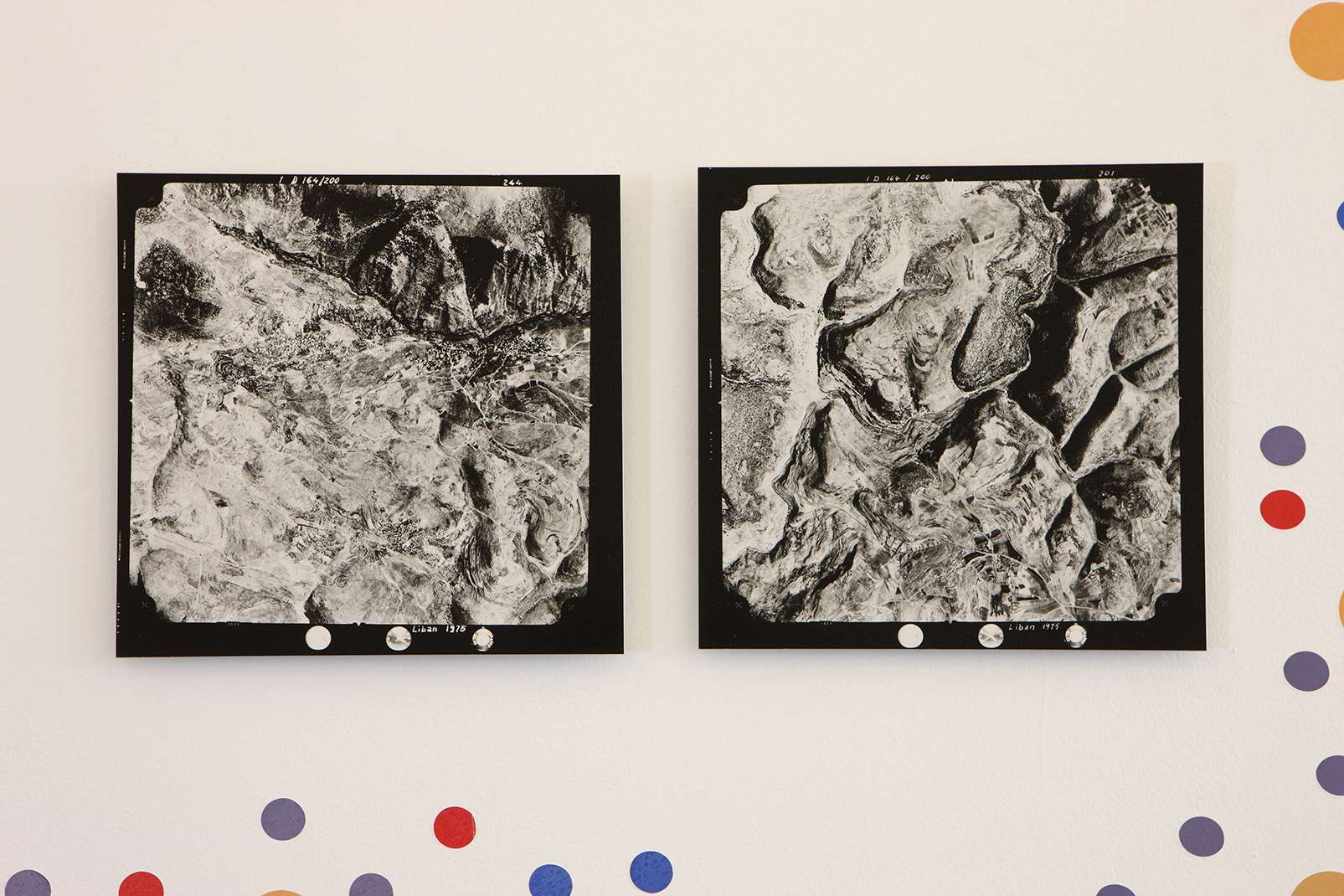
4- Fixed imaginary boundaries: No maps exist for some villages in South Lebanon, thus
they are nonexistent in the Directorate of Land Registration and Cadasters in Lebanon.
5- At 22,000 meters high, pictures of the South, in the Wadi al-Hujeir area and its cityscape.
No aerial images of these areas have been taken since 1975.
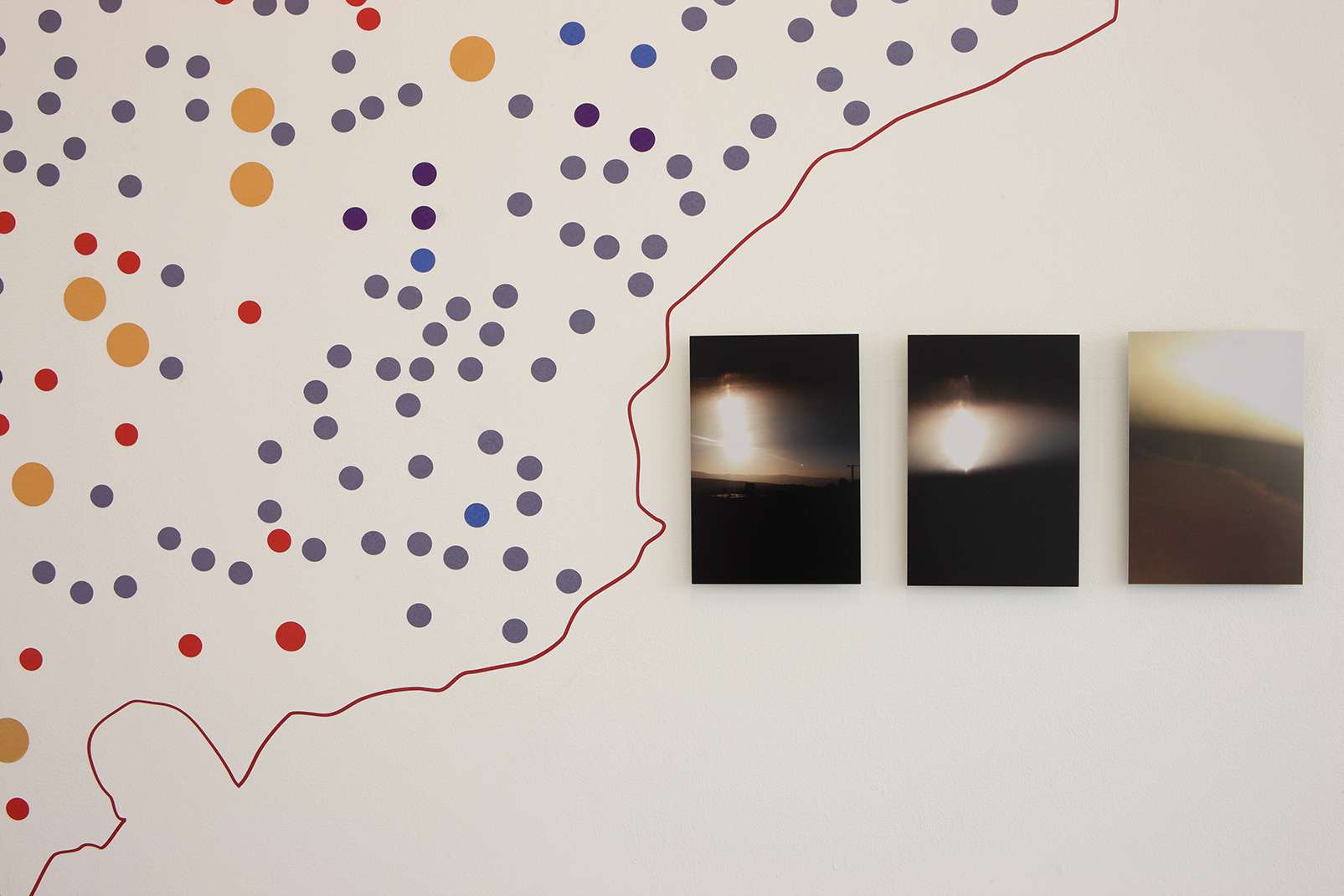
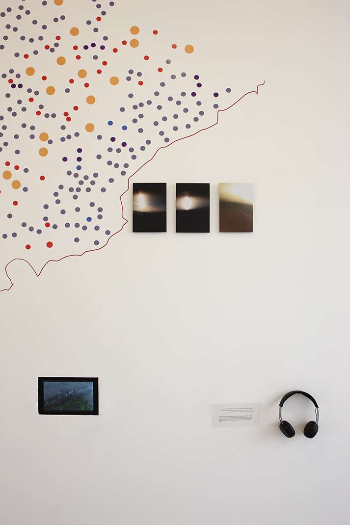
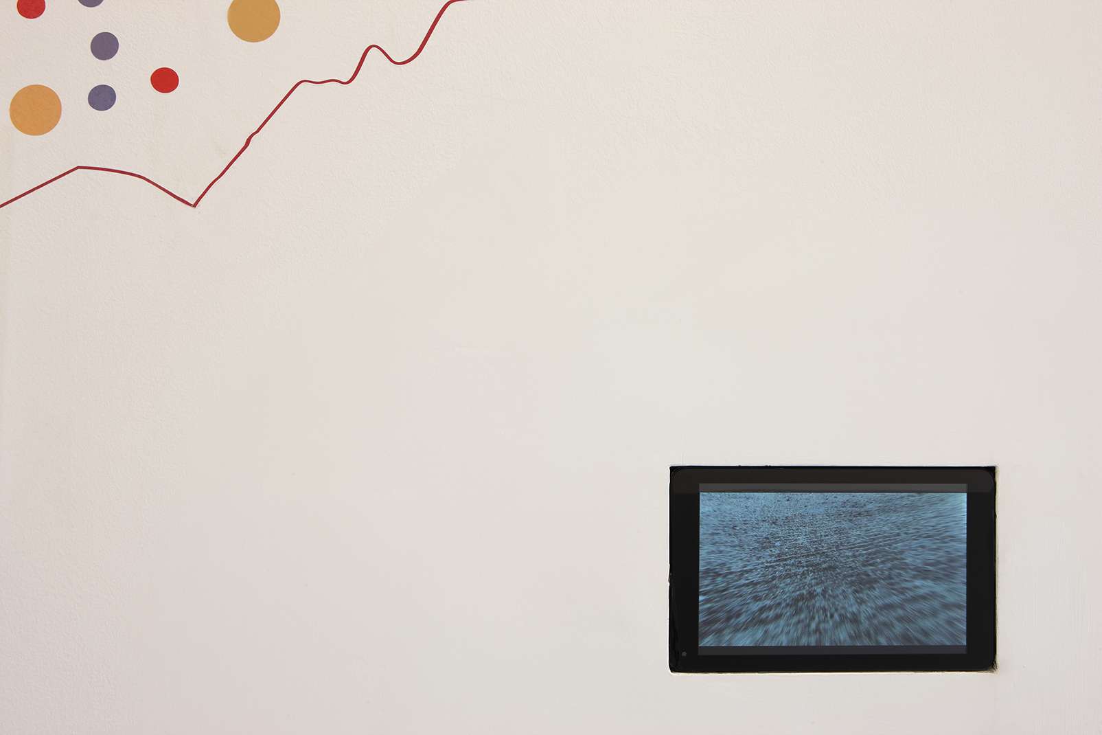
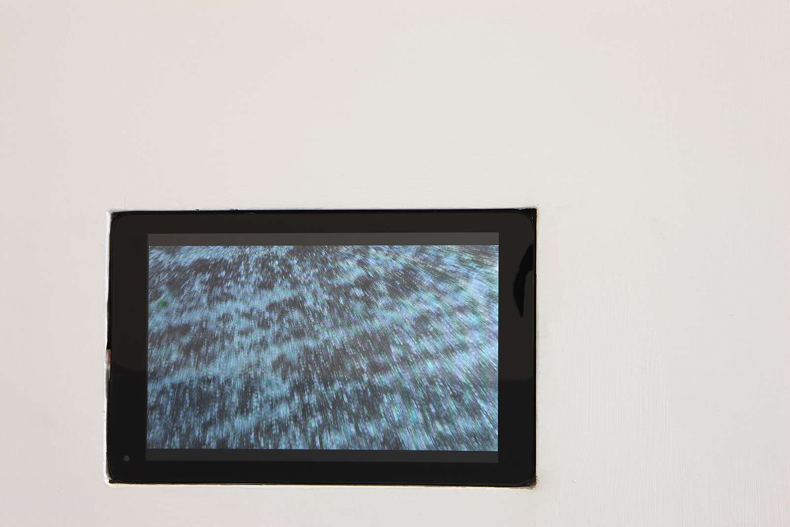
6- A video, two minutes.
Every now and then, Israeli forces publish one kind of map (satellite images of the South)
that contains information about Hezbollah locations, most of them underground. Pictures
from the sky, an obsession with what’s at the bottom, these sites are often referred to with
colored circled dots.
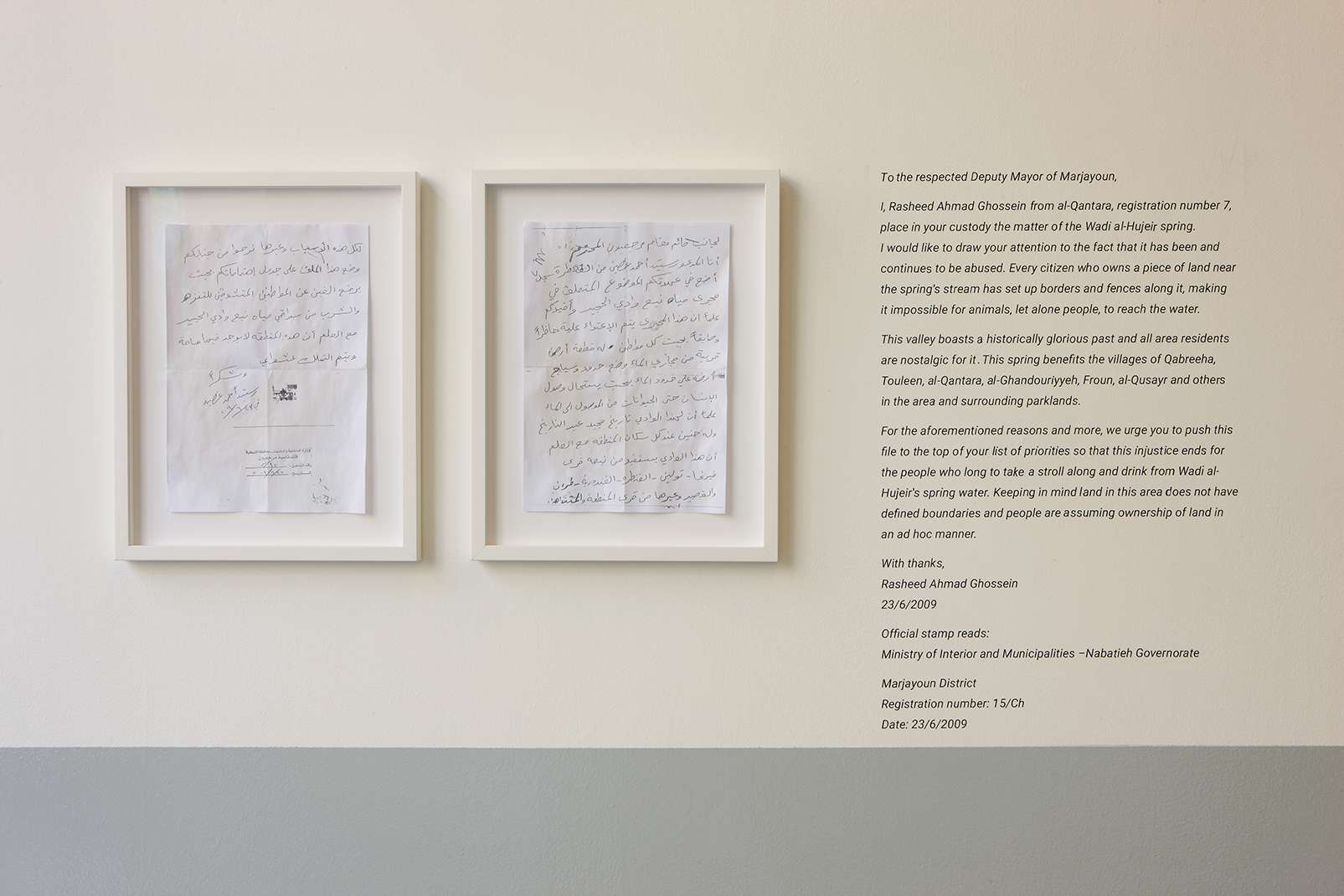
At the center of this work is a land ownership document , a deed signed by the village local mayor, that certifies the landowner’s claim. Uniquely, the document includes a drawing of the land’s natural landscape, an official paper accompanied by an illustration. Since the land in my village has never been formally surveyed, meaning the state holds no cadastral maps for it , not even from the time of the French Mandate , it remained under the ownership of local feudal families. I went up to my village and marked the boundaries of a plot of land equal in size to that of the gallery space, hoping to claim it through working on it , as that remains the only way to acquire land in South Lebanon